Client: Waikato River Authority
The Waikato River Authority (WRA) plays a vital role as the custodian of the vision and strategy for the Waikato River. This includes the fundamental purpose of restoring and protecting the health and wellbeing of the river and catchment.
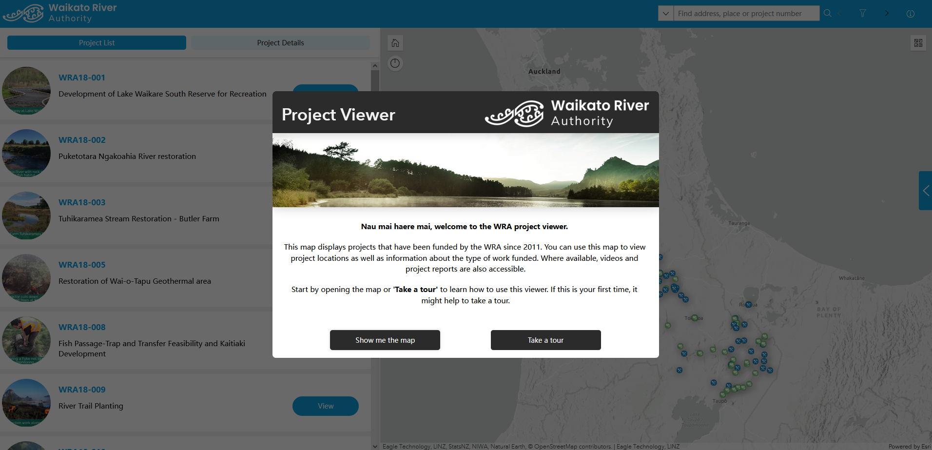
Over the past 12 years, the WRA have funded approximately $60 million to more than 400 projects to support abundant biodiversity and help communities to prosper across Waikato. This significant investment in the catchment highlights a need for transparency and public accessibility to these projects.
The WRA understands how important it is for people living near projects to be included in the journey, feel invited to participate, and recognise their responsibility in protecting and restoring their local environment.
Introducing the Projects Map
Our Waikato office has worked with the WRA to develop an innovative and engaging Mapping and Storytelling Tool (MAST) that reports each WRA funded project’s status and successes to stakeholders while also supporting future planning.
The MAST is a publicly accessible mapping application developed with ArcGIS Experience Builder, embedded into WRA’s website. The underlying ArcGIS platform supporting MAST is also easily accessible for WRA to input and update project data. The result is a geospatial database storing project information that can be used within MAST and beyond.
Ongoing Enhancements
Bringing mapping and storytelling together helps the WRA to enhance collaboration with private landowners, community groups, and other stakeholders to foster partnerships for river restoration and thereby supporting in the restoration and protection of the health and well-being of the Waikato River.