



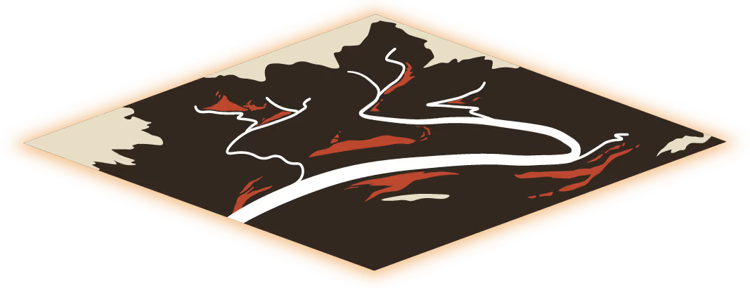
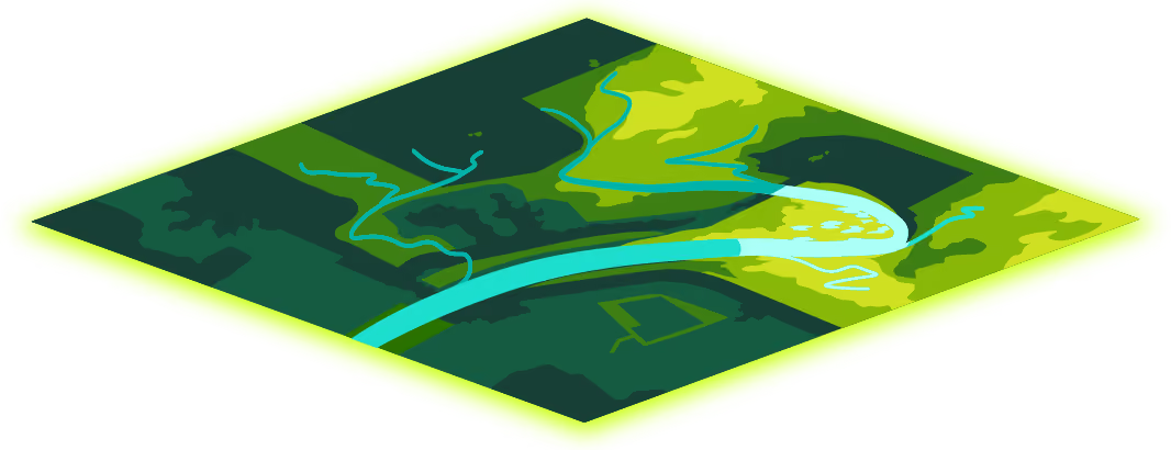
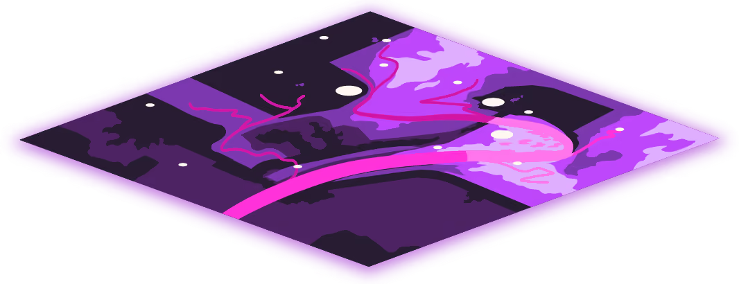
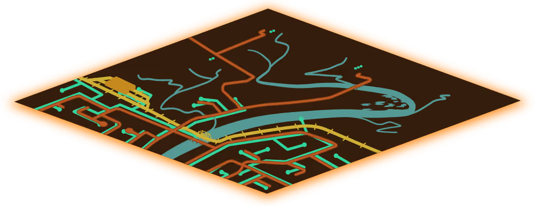




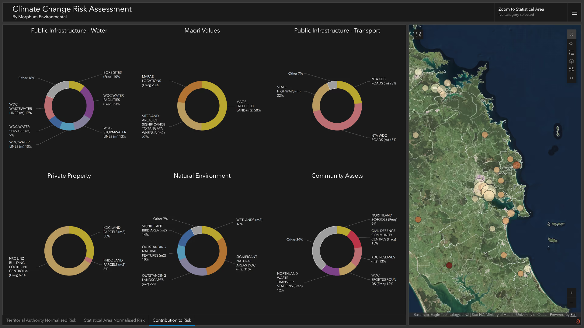





A climate risk assessment identifies how climate change could affect a property, catchment, community or organisation. It looks at direct physical risks such as flooding, sea level rise and land slips, as well as the wider effects these can have on people, infrastructure, the economy, culture and the natural environment. With this information, you can start to prepare your adaptation plans, or work with teams like ours to prioritise the best opportunities to prepare for a resilient future.
Our assessments can cover seven areas:
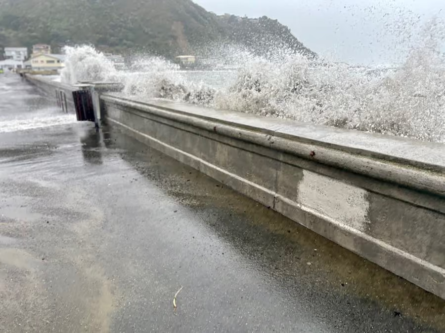
▸ Hydrological risks (sea level rise, flood risk, inundation),
▸ Land risks (slip risk, land hazards, drought),
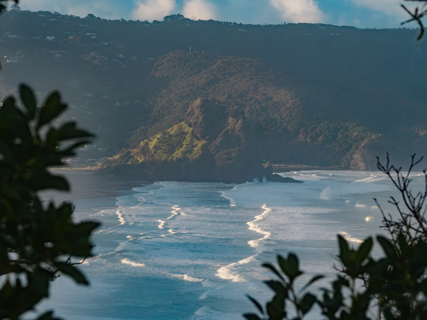
▸ The natural environment (catchments, ecology, biodiversity),
▸ Ngā mea hirahira o te ao Māori (mātauranga Māori, non-economic loss and damage, Māori investments and interests, taonga loss),
▸ The built environment (lifeline utilities, three waters infrastructure, transport networks),
▸ Communities (emergency response ability, socioeconomic vulnerability), and
▸ Land use (residential, commercial, industrial, primary industries, culturally significant sites).
Considering these areas together helps identify how different climate risks may interact and where the consequences of climate change could be the greatest.
All of the above! Morphum carries out climate risk assessments for individual properties and businesses as well as councils, catchments and larger regional areas.
If you're assessing flood risk for a specific site rather than a broader climate risk picture, our Flood Risk and Hydrology Assessments service may be a better fit. We can work with you to help you decide which assessment would be most suitable for your needs.
A flood risk or hydrology assessment focuses specifically on how water will behave on a site, such as modelling flood-hazard areas for a resource consent application.
A climate risk assessment is broader, covering hydrological risk alongside land, ecological, built-environment, community and cultural risks, usually at a regional, catchment or sub-catchment scale rather than a single property site.
Ngā mea hirahira o te ao Māori is one of the seven risk areas we assess directly, covering mātauranga Māori, non-economic loss and damage, Māori investments and interests, and taonga loss. Te mana o te wai is built into our adaptation planning approach from the start, and we work in partnership with communities and mana whenua rather than treating cultural impact as an afterthought.
A climate risk assessment feeds directly into adaptation planning, and we can help identify critical issues and potential options to help create a clear, prioritised list of actions.
From there, our experienced on-site water, water sensitive urban design and engineering teams can design and deliver those actions into practice, using nature-based solutions and resilient infrastructure.
Yes. We're resourced to deliver desktop and on-the-ground climate risk assessments across Aotearoa as well as in Australia, Fiji, Samoa, Tonga, Niue and other Pacific Island nations.