Looks like you might be in Australia
You've landed on our NZ website, click the link below to head to the Australian site, or click out of this box if you are actually in NZ!
Visit Australian SiteStay on NZ website instead

Wellington City Council's climate strategy, Te Atakura, takes a catchment approach to climate adaptation. Their Local Climate Adaptation Programme looks at how inland flooding, sea level rise and coastal inundation affect catchments and the communities, building a mountain-to-sea understanding of the risks posed by climate change.
This climate risk assessment is the first step in identifying the opportunities to strengthen our resilience to the effects of climate change.
Wellington City Council chose the Paekawakawa (Island Bay) and Haewai (Houghton Bay) catchments to pilot this approach. Morphum was engaged to undertake the technical climate vulnerability assessment across four hazards: inland flooding, coastal flooding, landslides and slips, and extreme wind. We assessed both current and conditions projected out to the end of the century.
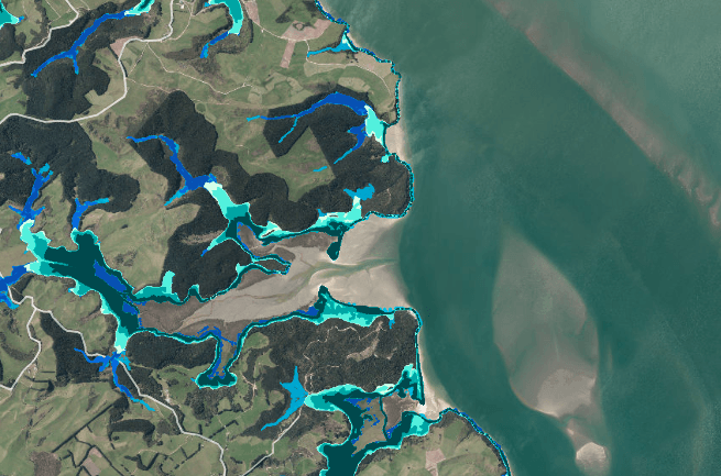
Before considering future risk, our team built a spatial understanding of the pre-development landscape and how natural infrastructure (streams, wetlands and dune systems) that once buffered the catchment against flooding and storm surge. We traced how land-use change has reduced their extent and function over time, and associated loss of natural resilience as basis for understanding the intensification of climate events and impacts. This understanding was built with mana whenua, stakeholders and the local community, through a series of hikoi through the catchment. This provided spatially grounded context to support informed involvement in the risk assessment.
We drew on mapping and data analysis provided by WCC generated through Resilience Explorer to identify the impact to the following six themes:
We tested the assessment against local knowledge through a Technical Advisory Group, a Mana Whenua Working Group and a community panel. Our team also drew on He Taki Rourou mo Paekawakawa, developed by Taranaki Whānui and Ngāti Toa Rangatira to set out mana whenua connections, principles and environmental considerations for the catchment, alongside the Council's own LCAP Community Engagement Report and the 2025 Tātou ki Uta Coastal Reserves Management Plan.
The climate vulnerability assessment identified five priority areas across the catchment, and outlined the major individual and cumulative risks in these areas. We also supported Tonkin and Taylor in generating a draft suite of adaptation options for the Council to consider with Community in developing an adaptation plan.
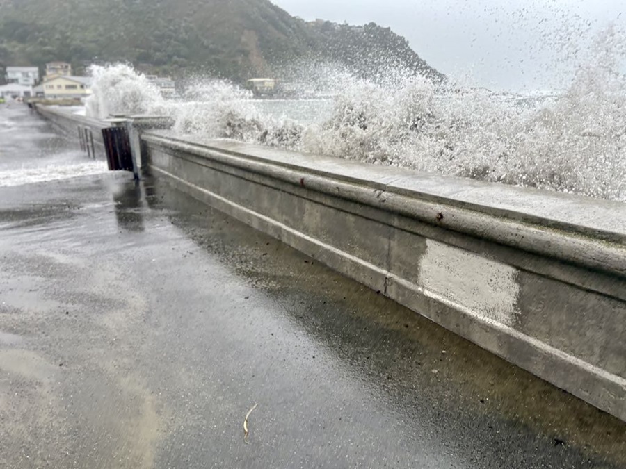
The week the report was finalised, the Paekawakawa catchment was hit by a rainfall event later assessed at around a 0.5% annual exceedance probability, broadly a 1-in-200-year event, with over 85mm falling in a single hour. The flooding and disruption that followed matched the vulnerabilities documented in the assessment, validating the findings and escalating the need to start building resilience across the landscape.
Delivered within eight, the pilot generated useful lessons reflected on with Council to inform the refinement and roll out of the programme across the city.
For a catchment like Paekawakawa, a mountains-to-sea view means the safety of Island Bay's streets and the health of the Taputeranga Marine Reserve get assessed as one connected system. It's this approach to climate adaptation that works when community engagement, ecological understanding and technical modelling sit inside the same project team, from the first hikoi to the final report.





.jpg)