
Looks like you might be in Australia
You've landed on our NZ website, click the link below to head to the Australian site, or click out of this box if you are actually in NZ!
Visit Australian SiteStay on NZ website instead
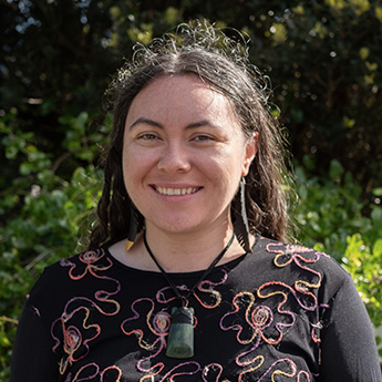


Tarihi joined Morphum in Tāmaki Makaurau as a GIS/FME Analyst in November 2026. She specialises in using the ESRI Suite and FME to transform complex spatial data into practical workflows that support informed decision-making and positive outcomes for te taiao (the environment).
Prior to joining Morphum, Tarihi worked at Auckland Airport in their Spatial Team, where she managed geospatial asset data for large-scale infrastructure projects and developed geospatial applications to support the engineering and operational teams to assess and maintain this data.
Tarihi is interested in how geospatial technologies can support Māori aspirations and support all kaitiaki (guardians) in making informed decisions. Guided by the principle of kaitiakitanga (guardianship), she is passionate about making complex information more accessible to all those who may need it to ensure positive outcomes for te taiao.
Outside of work, Tarihi is on her haerenga Reo Māori (learning Te Reo Māori), diving into Tāmaki Makaurau’s live music scene, and exploring the city on her e-bike.